Lyngen LiDAR Models
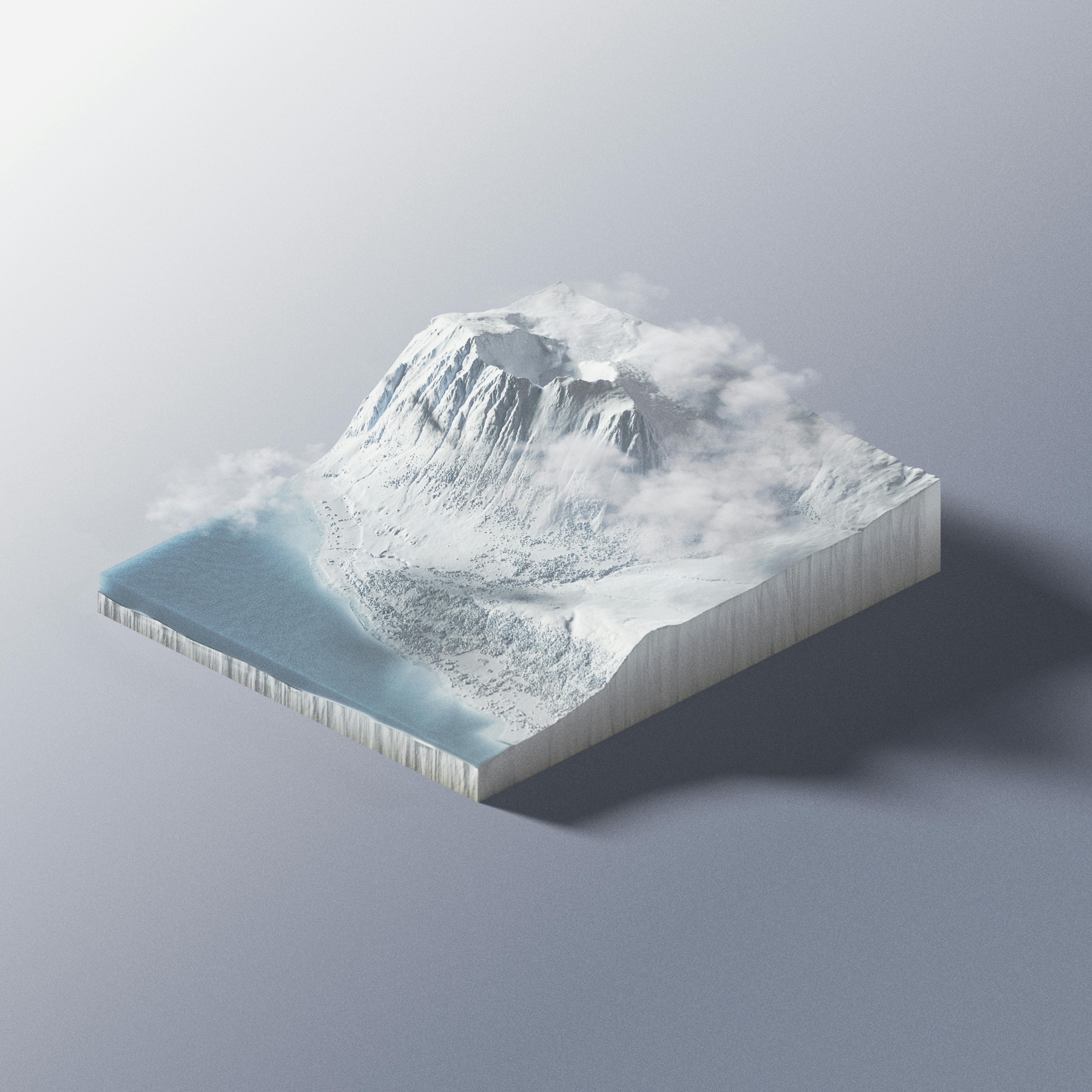
I developed 3 scenes representing real locations in the Lyngen Alps of Norway. The terrain is generated from LiDAR survey data of the region made by the Norwegian government for climate tracking purposes. The shots consist of ~500,000,000 data points. On each of the scenes I’ve inscribed rough sketches of the lines we skied / attempted.


I showed the triptych series in print at my friend's art show in Los Angeles– Smogged Out Open Studio. The raw LiDAR data was pulled from the Norweigan Mapping Authority and processed using a point cloud tool called Cloud Compare. Once processed for region, filtered for noise, and simplified, the data was imported into Blender for rendering. In order to make Blender accept these files, I had to dramatically reduce the raw data size.
To pull this off, I found a method within Cloud Compare to focus data in regions of higher terrain variability/roughness, while reducing smooth surfaces. This maintained better detail in rocky areas and smoothed out open fields. You can see this well in the photos below. Take note of the annotated Lakselvtinden image. Right of the summit, you can find a glacial surface. While this surface is mainly smooth, you can clearly identify the crevasses recorded form the LiDAR scans.


